Drivers in Finland face a risk of slippery roads on Tuesday morning as overnight temperatures fall close to freezing, with frost and fog possible in parts of the country before a wetter weather pattern takes hold from Wednesday.
Clear skies and light winds overnight are expected to allow temperatures to fall, with the greatest risk of frost in central and northern Finland. In some areas, road surfaces could drop below zero even if air temperatures remain slightly above freezing.
Foreca meteorologist Joanna Rinne said frost could develop when road surfaces fall below zero. Bridges are particularly exposed because they cool more quickly than surrounding roads, making them potential trouble spots for motorists during the early morning hours.
Fog is also expected in some areas overnight and could remain into Tuesday morning, adding another potential hazard for drivers. Reduced visibility combined with icy patches could make local driving conditions more difficult, particularly where temperatures are lowest.
Away from the morning risks, Tuesday is expected to be a largely dry day across Finland. Much of the country should see sunshine, while cloud will be more common in Lapland.
Temperatures will reach around 13 to 16 degrees Celsius in southern and central Finland, while northern areas are expected to remain cooler, with daytime temperatures between 9 and 14 degrees.
The weather pattern will shift on Wednesday as the area of high pressure moves away and southerly winds strengthen. Cloud will begin spreading across Finland from the west before a broad area of rain moves in.
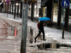
That change is expected to mark the beginning of a wetter stretch of weather lasting through the rest of the week. Foreca is forecasting widespread areas of rain across Finland on each day from Wednesday onwards.
Between Wednesday and Sunday, much of Finland is expected to receive between 20 and 30 millimetres of rain. Some locations could record totals of around 40 millimetres over the period.
Despite the increase in rainfall, temperatures are not expected to fall significantly. Daytime temperatures through the remainder of the week should stay broadly similar to Tuesday’s levels.
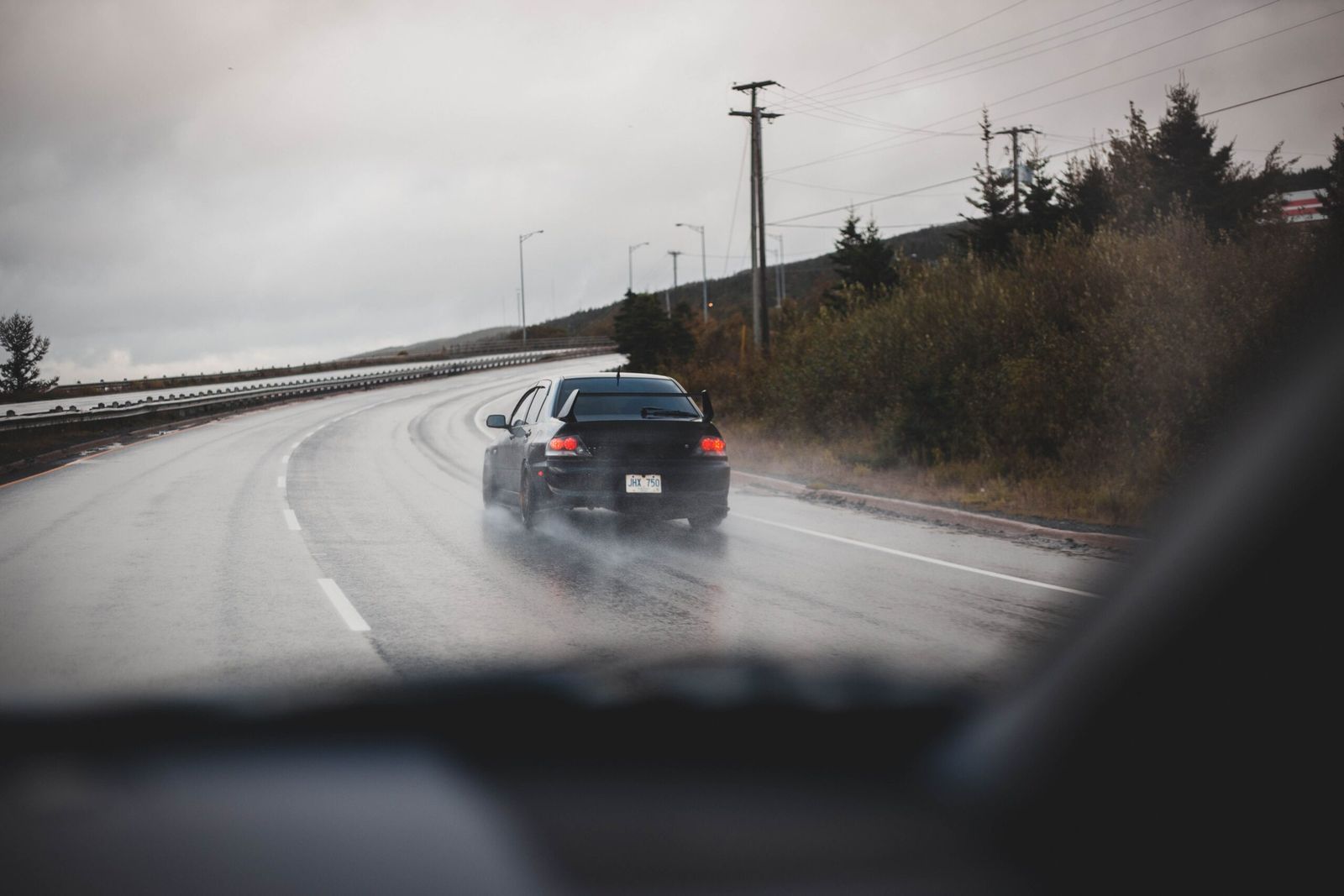
For motorists, the immediate concern is therefore not a major temperature drop but the combination of near-freezing road surfaces, frost and possible fog early Tuesday. The wetter conditions arriving from Wednesday will bring a different set of driving conditions as rain becomes a more regular feature across the country.