
Rain will affect much of Finland this weekend as low-pressure systems pass close to the country, with strong wind gusts expected first in the south before the unsettled weather spreads across a wider area.
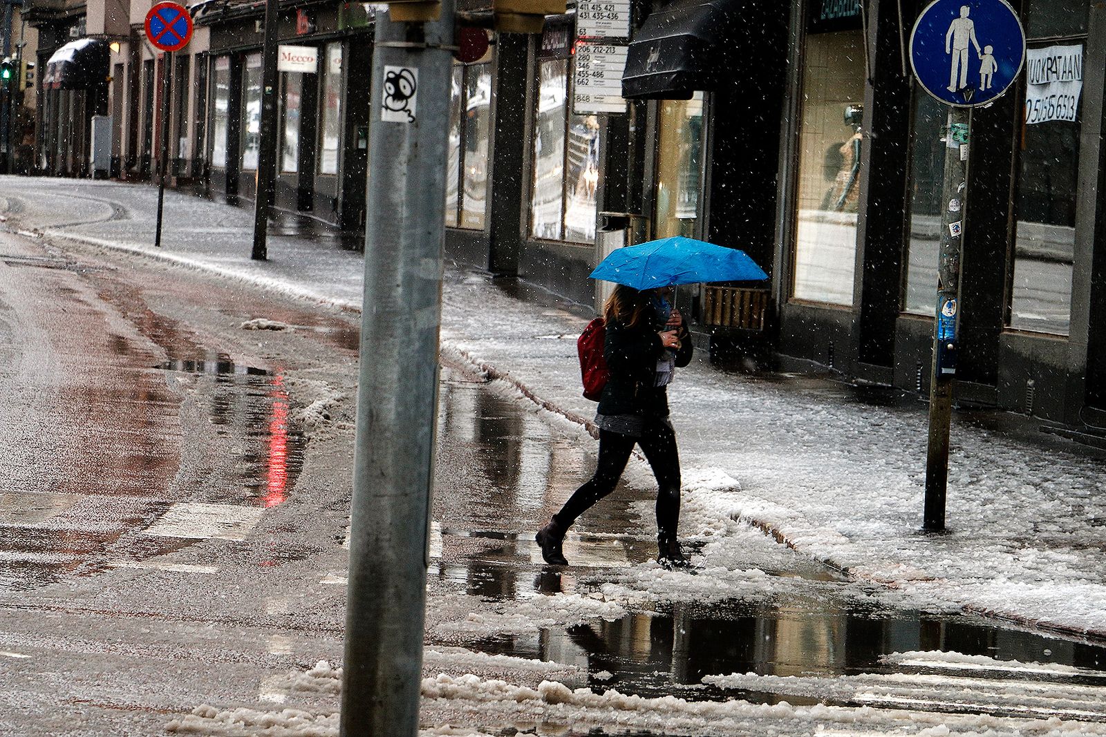
The Finnish Meteorological Institute said Thursday that temperatures are expected to remain close to normal September levels, despite the wet and windy conditions.
Friday will begin with showers mainly across southern and western Finland. Rain will reach eastern parts of the country by the evening, while northern Finland is expected to stay mostly dry during the earlier part of the day.
Forecasters are also watching the possibility of thunderstorms overnight into Saturday. The risk is considered small and is mainly concentrated in southern and western Finland.
“There is a small possibility of thunderstorms in connection with the showers in southern and western parts of the country during the night before Saturday,” Finnish Meteorological Institute meteorologist Eetu Rimo said.
The rain will move north on Saturday, with northern Lapland the only part of Finland expected to largely escape the rainfall. Southern and central parts of the country should see some dry periods during the day before another band of rain approaches from the south-west in the evening.
That system will travel north during Saturday night and into Sunday morning, bringing stronger south-westerly winds with it.
“Strong gusts are possible over land during Saturday and Sunday, particularly in southern Finland on Saturday and across a wider area on Sunday,” Rimo said.
Daytime temperatures are expected to range between 7°C and 17°C across the country. Overnight temperatures will mostly remain between 5°C and 15°C, although some parts of Lapland could see temperatures drop below freezing.
The weekend’s weather comes as Finland’s September temperatures have so far stayed relatively close to seasonal averages, a notable change from the unusually warm Septembers of recent years.
September 2023 and September 2024 were the warmest Septembers recorded in Finland’s measurement history by average temperature. September 2025 was also warmer than the long-term average.
At weather observation stations, average September temperatures during those three years were generally between 2°C and 4°C above normal.
This year has also been different in terms of warmer daytime extremes. Finland has not recorded a hot day in September so far, with the national definition of a hot day being a temperature above 25°C. By comparison, there were four such days in September 2025 and eight in September 2024.
The cooler feel of this September is therefore partly a matter of contrast with the unusually warm conditions experienced during the previous three years.
“This September might have felt much cooler than the previous ones, but it is worth remembering that the preceding Septembers had temperatures that differed from normal,” Rimo said.
For the coming weekend, the main concerns are less about unusually low temperatures and more about the combination of widespread rain and strengthening winds. The strongest gusts are expected in southern Finland on Saturday, with windy conditions becoming more widespread on Sunday as the weather system moves north.