
Finland is forecast to experience heavy rain, strong winds and possible snowfall as a low-pressure system moves across the country on Friday, 9 October, bringing the first measurable snow of the autumn to parts of the northeast by Saturday morning.
The Finnish Meteorological Institute (FMI) said the weather system would bring widespread rainfall to southern and central Finland, with some areas expected to receive as much as 30 to 40 millimetres of rain. Most locations are forecast to record between 5 and 25 millimetres, although rainfall totals could exceed 40 millimetres in parts of central Finland. Southern areas are expected to receive between 5 and 20 millimetres.
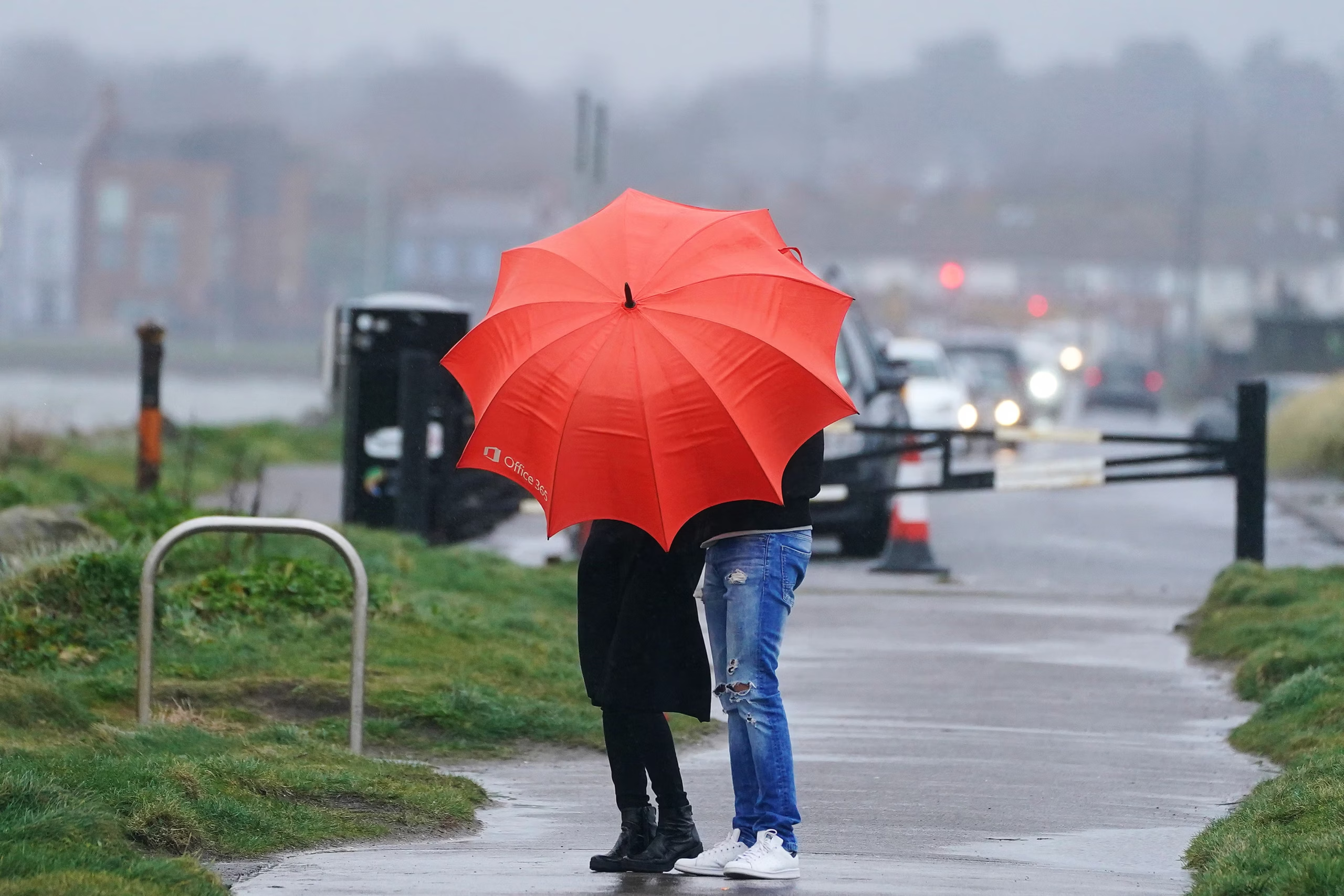
The system will also strengthen easterly and north-easterly winds, particularly over western sea areas and in central Finland. The Finnish Meteorological Institute has issued weather warnings for Friday, with storm-force gusts expected at sea.
On land, strong gusts could cause local damage in Ostrobothnia, Central Ostrobothnia, North Ostrobothnia and Kainuu, according to a forecast by Foreca meteorologist Joonas Koskela.
The heavy rainfall could also push river levels higher, particularly in western Finland, where significant amounts of precipitation are expected over a relatively short period.
Further north, falling temperatures will change the form of precipitation in some areas. Rain is forecast to turn into sleet or snow on Friday, particularly in Kainuu and Koillismaa. The change could create difficult driving conditions by Friday evening as roads become slippery.
By Saturday morning, parts of Kainuu and Koillismaa could see the first measurable snowfall of the season. In Finland, the official record of the first snow is based on a specific measurement: at least one centimetre of snow must cover the ground at an observation station at 9am during daylight saving time.
Although the prospect of snow can signal the approach of winter, early October snowfall is not unusual in northern Finland. FMI meteorologist Jani Sorsa said in the institute’s forecast that the first half of October is statistically a fairly typical period for the first snow in the region.
The low-pressure system is expected to move eastwards on Saturday, allowing colder air from the north to spread across much of the country. Temperatures in Lapland will fall sharply, with daytime readings reaching only a few degrees above freezing in some areas and remaining below zero in others.
Southern and central Finland will be milder, with daytime temperatures forecast to range between 5 and 10 degrees Celsius.
Lapland is expected to receive less of the rainfall affecting other parts of the country, as a high-pressure system helps maintain calmer conditions in the north. However, temperatures could fall close to the lowest levels recorded in the region so far this autumn.
Foreca reported that temperatures in Lapland on Friday morning could approach the season’s lowest reading to date, which was minus 6.6 degrees Celsius. That temperature was measured in late August in Tulppio, in the municipality of Savukoski.
Despite the approaching cold spell, October has so far been several degrees warmer than average across Finland, according to the Finnish Meteorological Institute. The expected drop in temperatures therefore marks a temporary shift from the unusually mild conditions experienced earlier in the month.
Sorsa said temperatures were expected to rise again around the middle of next week as south-westerly winds strengthen. The change is likely to bring milder but unsettled weather during the first week of the autumn school holidays.