Finland is heading into a colder and wetter spell as autumn gathers pace, with falling temperatures expected to increase the risk of icy roads in more parts of the country. Foreca forecasts a clear change in weather during the coming week, with rain, overnight frost, fog and damp road surfaces likely to make driving conditions more difficult.
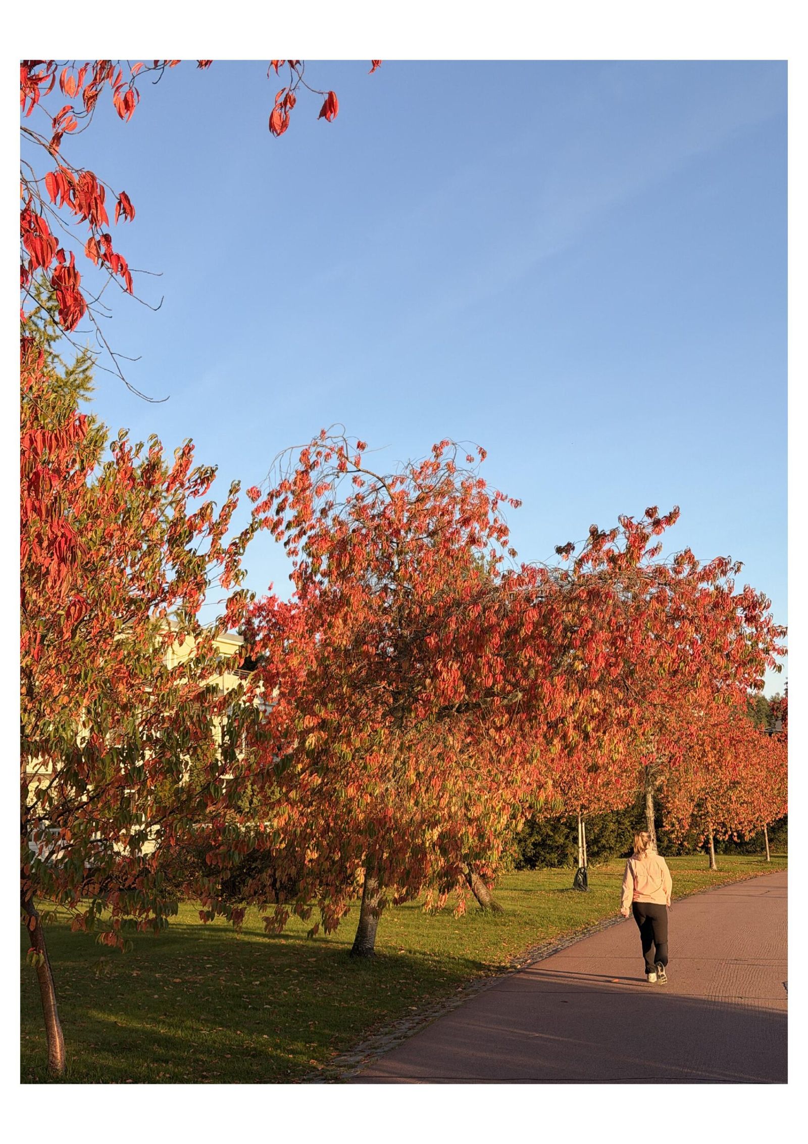
The shift will not happen immediately. High pressure is expected to keep parts of southern and western Finland relatively warm for another few days. Temperatures could reach 17 to 18 degrees Celsius in the south-west on Thursday and across parts of southern and western Finland on Friday, according to Foreca.
Fog and low cloud could make temperatures vary sharply between nearby areas. Under light winds, fog has already persisted well into the morning in some locations and may remain into the afternoon. Areas that stay under cloud could be around five degrees colder during the day than nearby places receiving sunshine.
The weather pattern is expected to change over the weekend as the high-pressure system moves away. Cloud cover will increase and rain will begin spreading eastwards from the west.
Several areas of Finland are likely to see rain during the following week as low-pressure systems move across or close to the country. At the same time, colder air will push further south, bringing a more typical October feel to much of Finland.
In southern Finland, temperatures are expected to remain between 10 and 15 degrees during the first part of the week before falling to around 10 degrees after midweek. In Lapland, daytime temperatures could fall close to zero towards the end of the week, while parts of northernmost Finland may see temperatures drop below freezing.
Forecast models are also showing the possibility of a stronger low-pressure system arriving late next week. If it develops as currently indicated, it could bring the first more significant sleet and snowfall of the season to Lapland. Foreca has stressed that the details of this system remain uncertain, so the timing and amount of winter precipitation could still change.
The changing temperatures are also becoming important for road users. Road surfaces have remained above freezing across most of Finland so far, with temperatures below zero mainly recorded in the north. As October progresses, that pattern is expected to become more widespread.
Foreca meteorologist Sara Salonen said road surfaces can fall below freezing during clear and calm nights even when the measured air temperature remains one or two degrees above zero. This can create slippery conditions before drivers realise that ice has formed.
Bridges and grade-separated junctions are particularly exposed because their surfaces lose heat faster than roads built directly on the ground. Moisture around lakes and other bodies of water can also contribute to conditions that allow frost to develop.
Road ice does not always appear as an obvious layer. When moisture in the air freezes directly onto a road surface that has fallen below zero, it can leave behind a thin coating of frost that is difficult to see from a vehicle.
Freezing fog can create another hazard. Supercooled water droplets can freeze when they hit cold surfaces, producing a combination of poor visibility and reduced grip on the road.
Foreca recommends that drivers slow down and increase the distance between vehicles when visibility deteriorates. Dense fog can reduce visibility to only a few dozen metres, leaving motorists very little time to respond to another vehicle, pedestrian or obstacle.
The colder weather comes after a September that was warmer than the 1991 to 2020 average across Finland, according to the Finnish Meteorological Institute. The national mean temperature was 10.3 degrees Celsius, generally 1 to 1.5 degrees above the long-term average.
September still produced some sharp contrasts. The highest temperature of the month was 21.8 degrees at Kokemaki on 2 September, while Muonio recorded a low of -6.4 degrees on 7 September.
The month was also wetter than usual in large parts of Finland. At Lieksa Koli, rain was recorded on 27 of the 30 days in September, the highest number of rainy days recorded there during September in the station’s 58-year observation history.
The coming change therefore marks a noticeable shift from the relatively mild conditions seen during much of September. For drivers, the most immediate concern will not necessarily be heavy snowfall, but the less obvious combination of darkness, fog, moisture and overnight freezing that can turn familiar roads slippery as autumn advances.